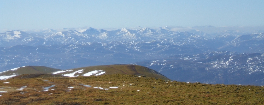
The above photo taken 23rd March 2007 on descent from the summit.
A short history of Ben Wyvis follows (but only the last millenia or so!)
ōUxellum Montesö mentioned in ancient times. (Ptolemy)
900-1000AD
ōThe Chief of a roving pastoral tribe who had their headquarters in the Wyvis corries, a man of renown in the north . . . He captured the wife of the leader of the Norse rovers . . . And she was later recaptured after a great conflict on the slopes of Ben Wyvis . . .ö In the end apparently the Chief became a friend of the Norse invaders. (Taken from the ōOrcadesö of Torpheus, originally in Latin, by Norman MacRae)
June 1767
James Robertson climbed Ben Wyvis. ōFrom Strathpeffer I went to Loch
Glash, passing over the top of Ben-we-vis, said to be the highest hill in
Ross-shire. It is certainly
an excellent scene for a botanist...
On the summit I was whitened by a fall of snow, and in many lower
parts of the mountain it lay underfoot to a considerable depthö (National Library of Scotland ms.
no.2507, p46). James
Robertson had been appointed by the Commissioners of the Forfeit Estates
to investigate the Jacobite lands, and the
1769
Thomas Pennant noted: ōSir Henry (Munro, of
Foulis) holds a forest from the crown by a very whimsical tenure, that of
delivering a snowball on any day of the year that it is demanded; and he
seems to be in no danger of forfeiting his right by failure of the
quit-rent, for snow lies in the form of a glaciere in the chasms of
Benwewish, a neighbouring mountain, throughout the year.ö (A Tour of
July 1819
Captain Colby of the Ordnance Survey visited
the mountain, whilst carrying out a reconnaissance along the eastern coast
of Inverness-shire, Ross-shire and Caithness for the first triangulation
of
c1820s
Rev Thomas Grierson climbed Ben Wyvis, in what turned into an epic journey of thirty-three miles. ōWe crossed the river by a wooden bridge, and passing some cottages, directed our steps to the summit of Ben Wyvis... and, to our mortification, found it covered with newly-fallen snow. Showers of snow fell all day on the mountainģ Upon asking a shepherd the best mode of ascent, he told us we could not reach the ōMonumentö as he termed the Cairn, that day, and that we were sure to be benighted. That put us on our mettle, and we never stopped for three or four hoursģtill we came to the bottom of the last ascent, which was fearfully rugged, and the upper part covered with snow.
ģIt was now
The ascent of Ben Wyvis became a popular undertaking in Victorian times, with the most usual route being from the south. The ascent usually started at Achterneed, near Strathpeffer, traversing the broad and relatively featureless slopes leading up to join the main summit ridge.
1886
Wyvis Lodge built by Walter Shoolbred, a
1892
The first person who claimed to have climbed all the Munros, Rev A E Robertson, apparently failed to reach the summit of Glas Leathad Mor, turning back not far from the summit when the rain came on. It is now thought likely that he never did reach the top of Ben Wyvis ¢ the only Munro which he did not summit on.
1935-9
The present triangulation pillar is erected
by the Ordnance Survey, in preparation for the second triangulation of
1970
The first recorded graded climb on the mountain. Klettershoe, 90m, Very Difficult, on the cliffs of An t-Socach above Coire Mor.
Martin and Joy Moran had a narrow escape, when they skied onto a cornice near the summit and triggered an avalanche in Coire na Feola. Joy recounts how they strayed slightly off course on the final approach towards the summit: ōSuddenly I slipped over what seemed to be a small bump in the snow; but found my skis hanging in space poised over what in fact was a considerable drop! Martin held out his ski-stick to help me back to my feet, but before we could conjure a single thought I heard a dull crack and was immediately carried off downwards.ö Martin recounts how he realised that they had broken through a cornice, and found himself struggling for survival: ōI struggled desperately to keep upright and stay on the surface, alternately swimming and clawing in the amorphous flowing mass, but powerless to get free. As the slab crumbled into huge blocks, I was certain that my skis would get trapped, twisting and snapping my legs like matchwood. Beyond that was the imminent prospect of being buried.ö After maybe ten seconds, the avalanche finally halted. ōI was left half-submerged in the debris, but seemingly in one piece. Apart from a madly thumping heart, a deathly silence and a ghostly whiteness reigned once more. . .ö Martin found Joy about 30 metres away, lying in front of a block the size of a small car. Joy recounts: ōThe cloud had cleared a little and looking back up I saw that the slope was devastated across a width of two, possibly three hundred metres ¢ stripped completely bare to its grass surface. Above it hung the broken jagged edges of a cornice.ö They had witnessed a full-depth slab avalanche, on a slope angle of maybe 35 degrees, carrying them down approximately 100m from the ridge. This happened only about 200 metres from the summit cairn. (quotes taken from The Munros in Winter, Martin Moran)
Dr Hamish Macintyre, 27, of Abriachan, was
caught by an avalanche whilst cross-country ski-ing near the west end of
An Cabar, and was swept down the mountainside to his death. There had been heavy snowfalls
down to sea level during the days preceding the accident. Dr Macintyre was reported missing
by his wife, and at first light the following morning a search was mounted
by Dundonnell Mountain Rescue Team, assisted by Police dog handlers and a
helicopter from RAF Lossiemouth.
Shortly after
April 1985
Craig Caldwell climbed Ben Wyvis, on his marathon journey over all the Munros and Corbetts.
November
2002
A Ż42,000 programme to repair and upgrade a previously eroded and boggy section of the Ben Wyvis mountain footpath in Ross-shire is now complete after several months of work. Funded by Scottish Natural Heritage, the upgraded path runs for 1.5km, from the entrance to the Ben Wyvis National Nature Reserve to the steep section below An Cabar on the south-west flank of the massif. (Article in the Press & Journal)
Autumn 2008
A further programme to upgrade the upper section of the An Cabar path is undertaken - this lasts until spring 2009.