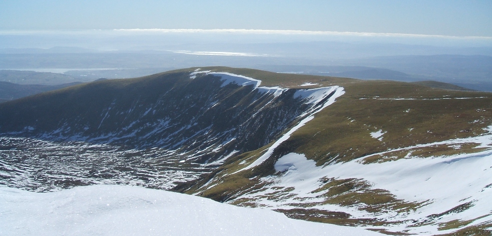
The above photo taken 23rd March 2007 from the summit.
A brief geological history of Ben Wyvis
Ben Wyvis is composed largely of Moine schists of the Glenfinnan Group. Schist is a medium grade metamorphic rock which is characterised by ìschistosityî ñ a strong alignment of the constituent minerals in one particular plane. On Ben Wyvis this is exemplified by the thin flakes or leaves of mica which can be seen on the surface of the exposed rocks ñ on a sunny day the rocks glisten and glint as if coated with thousands of gold flecks.
This mica schist gives us some of the clues we need to answer the question ìwhere did these rocks come from?î This type of schist was probably formed by subjecting a sedimentary rock (probably mudstone in this case) to very high pressure (and some heat) at a significant depth below the surface of the earthís crust. The combination of heat and pressure, whilst not sufficient to cause melting of the rock, was nevertheless sufficient to induce deformation and re-crystallisation of the constituent minerals within it.
So how did the mudstone come to be so far below the earthís surface? And how come it is now lifted up to a height of 1000m or more? Well, the mudstone was originally formed by fine sediments laid down on the floor of a subsiding sea, and it has been suggested that this happened maybe 1000-870 million years ago. Deep burial followed (the sediments may have been up to 12 km thick!), with compaction of the sediments to form the mudstone rock.
The rocks then were subjected to two periods
of metamorphism at depth; the first at 870-800 million years ago, and the
second at 450 million years ago.
Both of these events were the result of the earthís crust
thickening as two continents collided; put simply the mudstone was
squashed between the continental plates, and in the last event (the
Caledonian orogeny) the now-metamorphosed schist was lifted up as part of
a high mountain chain. The
Caledonian mountain chain at that time probably reached a height of 4000m
or more (comparable to the
Then erosion took over. A hot desert environment prevailed at one point in time, resulting in high levels of erosion and redistribution of sediments to lower ground. Following that a hot tropical moist environment took over, together with higher sea levels, again causing further erosion of the mountain. Then finally and most recently, the Ice Age began about 2 million years ago, completely covering Ben Wyvis with a succession of massive slow-moving ice sheets. By the time the Ice Age ended, only 10,000 years ago, the grinding of the ice sheets and the action of isolated glaciers and meltwater rivers had produced a landform recognisable as the modern-day Ben Wyvis.
Today on Ben Wyvis we can see several remnants of glacial action ñ including terminal moraines, hanging corries and U-shaped valleys. We can also see periglacial (permafrost-induced) features on the upper slopes of Glas Leathad Mor, such as ìploughing stonesî and solifluction lobes.
For an excellent introduction to the geology, flora and fauna of Ben Wyvis, visit the SNH website (www.snh.org.uk) and download their publication on the National Nature Reserve (http://www.snh.org.uk/nnr-scotland/downloads/publications/The_Story_of_Ben_Wyvis_National_Nature_Reserve.pdf ).
For more information on